
Mountains / Kanchenjunga Himal
Kanchenjungaकञ्चनजङ्गा
An eight-thousander in the Kanchenjunga Himal, on the border of Nepal and Sikkim, India.
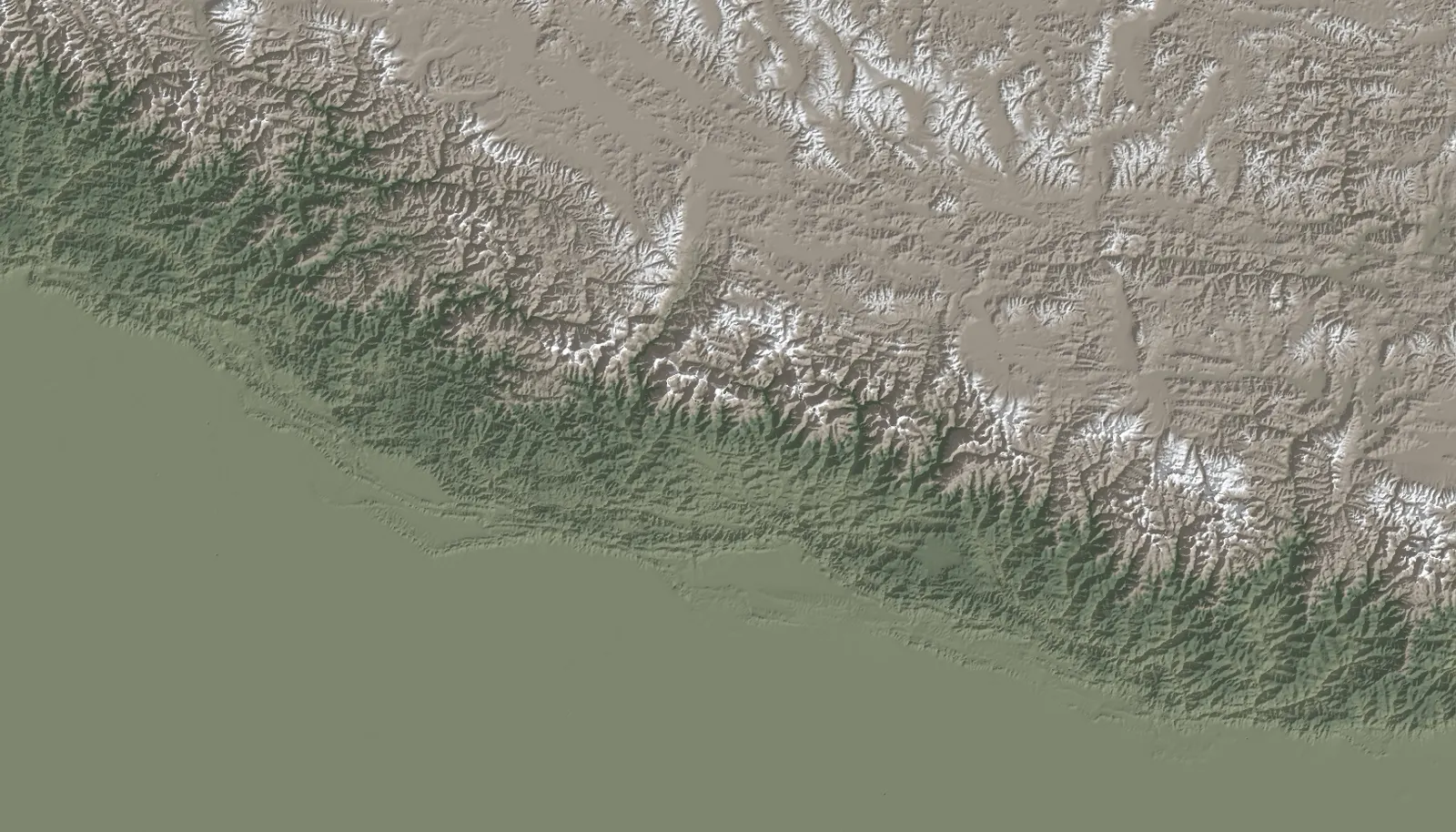
Kanchenjunga in 3D
Overview
- Elevation
- 8,586 mSource: Wikidata, Wikipedia (English)
- Coordinates
- 27.7030° N, 88.1474° ESource: Wikidata, Wikipedia (English)
- Prominence
- 3,922 mSource: Wikidata, Wikipedia (English)
- Parent peak
- Not yet documented
- Range
- Kanchenjunga HimalSource: Wikipedia (English)
- Border
- On the border of Nepal and India (Sikkim)Source: Wikipedia (English)
- Province
- Not yet documented
- District
- Taplejung DistrictNepal side. The source also lists Mangan district in Sikkim, India.Source: Wikipedia (English)
- First ascent
- 25 May 1955, Joe Brown, George BandTertiary source; to be checked against expedition records.Source: Wikipedia (English)
Still to document
Gallery, geography, climbing history, routes, base camps and permits arrive in the next phase, each with its own sources.
Sources
- Kanchenjunga (Q82019), Wikidata. Retrieved 4 November 2026.
- Kanchenjunga, infobox, Wikipedia (English). Retrieved 4 November 2026.
Spotted an error? Send a correction with your source.