
Imported from Wikidata on 4 November 2026 and not yet checked by a Peak editor. Each figure cites the record it came from.
Kangchungtse
Elevation 7,678 m
A 7,678 m mountain in the Mahalangur Himal, on the border with China.
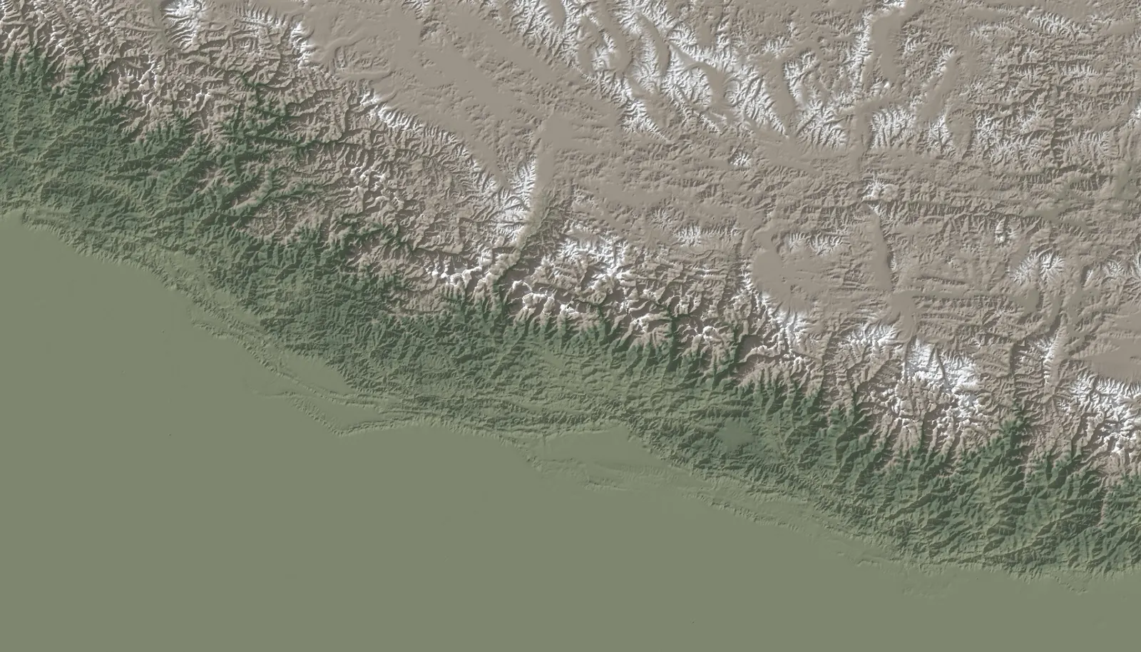
Overview
- Elevation
- 7,678 mSingle source: Wikidata.Source: Wikidata
- Coordinates
- 27.9151° N, 87.0786° ESingle source: Wikidata.Source: Wikidata
- Prominence
- 251 mSource: Wikidata
- Parent peak
- Not yet documented
- Range
- Mahalangur HimalSource: Wikidata
- Border
- On the border of Nepal and ChinaSource: Wikidata
- Province
- Not yet documented
- District
- Not yet documented
- First ascent
- Not yet documented
Sources
- Kangchungtse (Q20754005), Wikidata. Retrieved 4 November 2026.
Spotted an error? Send a correction with your source.